Rockfall protection fence and then what? About the need...
Mantelverordnung: introduction of EBV, adaptation of BBodSchV, DepV and GewAbfV
New Mantelverordnung: introduction of EBV and adaptation of BBodSchV, DepV and GewAbfV
Posted on 04 October 2022
In July 2021, the legislature published the new Mantelverordnung (“Regulation on the Introduction of a Substitute Construction Materials Regulation, on the Revision of the Federal Soil Protection and Contaminated Sites Regulation and on the Amendment of the Landfill Ordinance and the Commercial Waste Ordinance”).
Although the regulations of the Mantelverordnung will only come into force on 01 August 2023, the new requirements may already have to be taken into account in current tenders and in construction projects whose execution begins before this date. Among other things, the scope of testing (parameters) and testing methods will be changed, so that old analysis results (e.g. according to LAGA M20) will only be comparable to a limited extent.

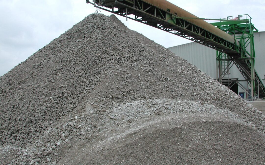
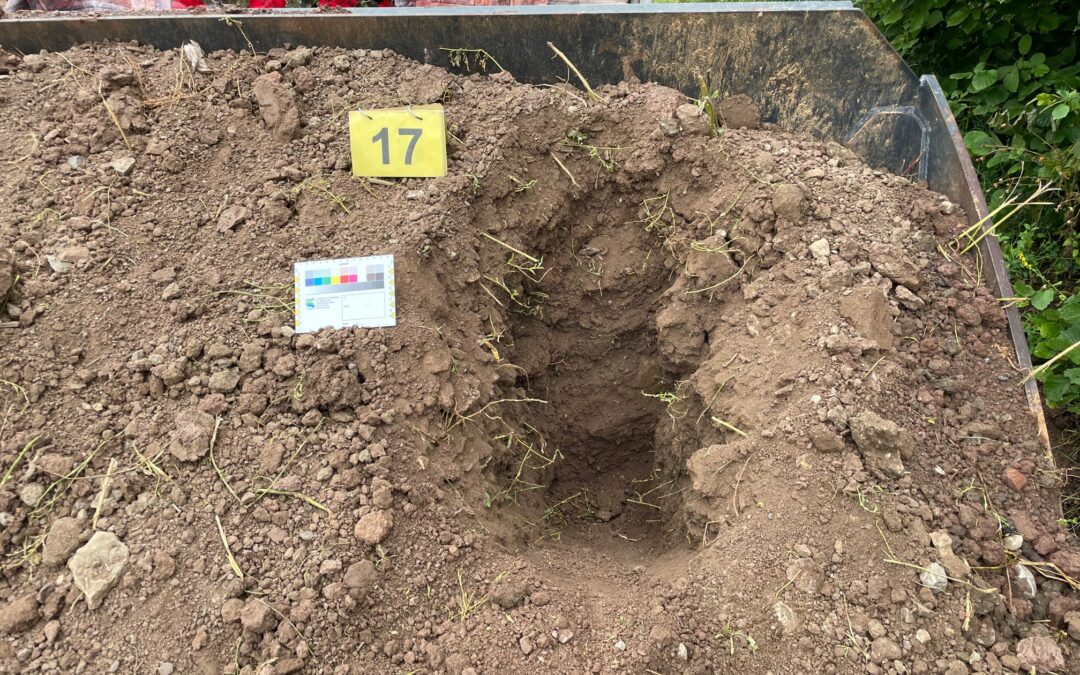
Classification of mineral waste

Processing of crushed concrete
Substitute Construction Materials Ordinance (EBV)
The most important item is the introduction of the Substitute Building Materials Ordinance (EBV), which for the first time sets out nationwide and legally binding requirements for the production and use of mineral substitute building materials (including recycled building materials from construction and demolition waste, soil and dredged material, gravel for railway tracks). The EBV thus replaces, among others, the LAGA M20 leaflet.
Further information on the new regulations can be found here.
To give you an overview of the most important changes and help you prepare in good time, we have produced a brochure that you can download here:
Brochure on the New Mantelverordnung (German)
LGA Institut für Umweltgeologie und Altlasten GmbH
Christian-Hessel-Str. 1
D-90427 Nürnberg
Phone: +49 911 12076 100
Telefax: +49 911 12076 110
info@LGA-geo.de
bewerbung@LGA-geo.de
News
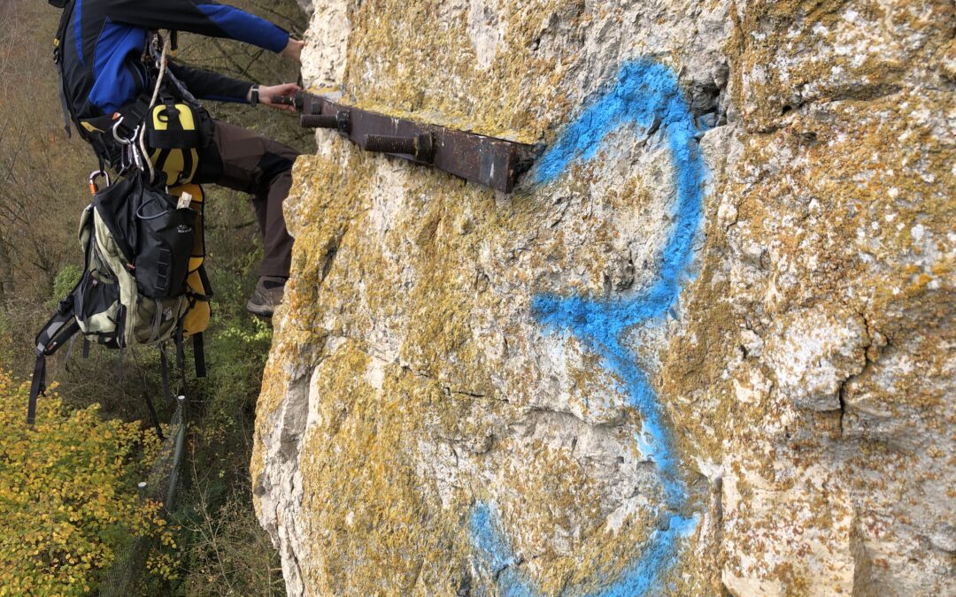
Inspection of securing constructions
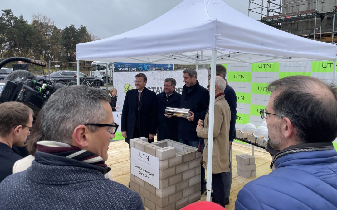
Foundation stone laid for Cube One of UTN
Foundation stone laid for Cube One of UTN (University of...
Mantelverordnung: introduction of EBV, adaptation of BBodSchV, DepV and GewAbfV
New Mantelverordnung: introduction of EBV and adaptation...
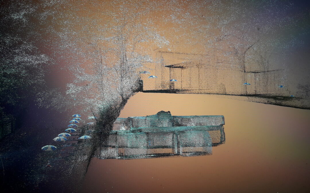
3D laser scanner measures and visualizes rock cellar in road embankment
3D laser scanner measures and visualizes rock cellar in...
Successful participation in various round robin tests
Successful participation in various round robin tests...
Older articles


