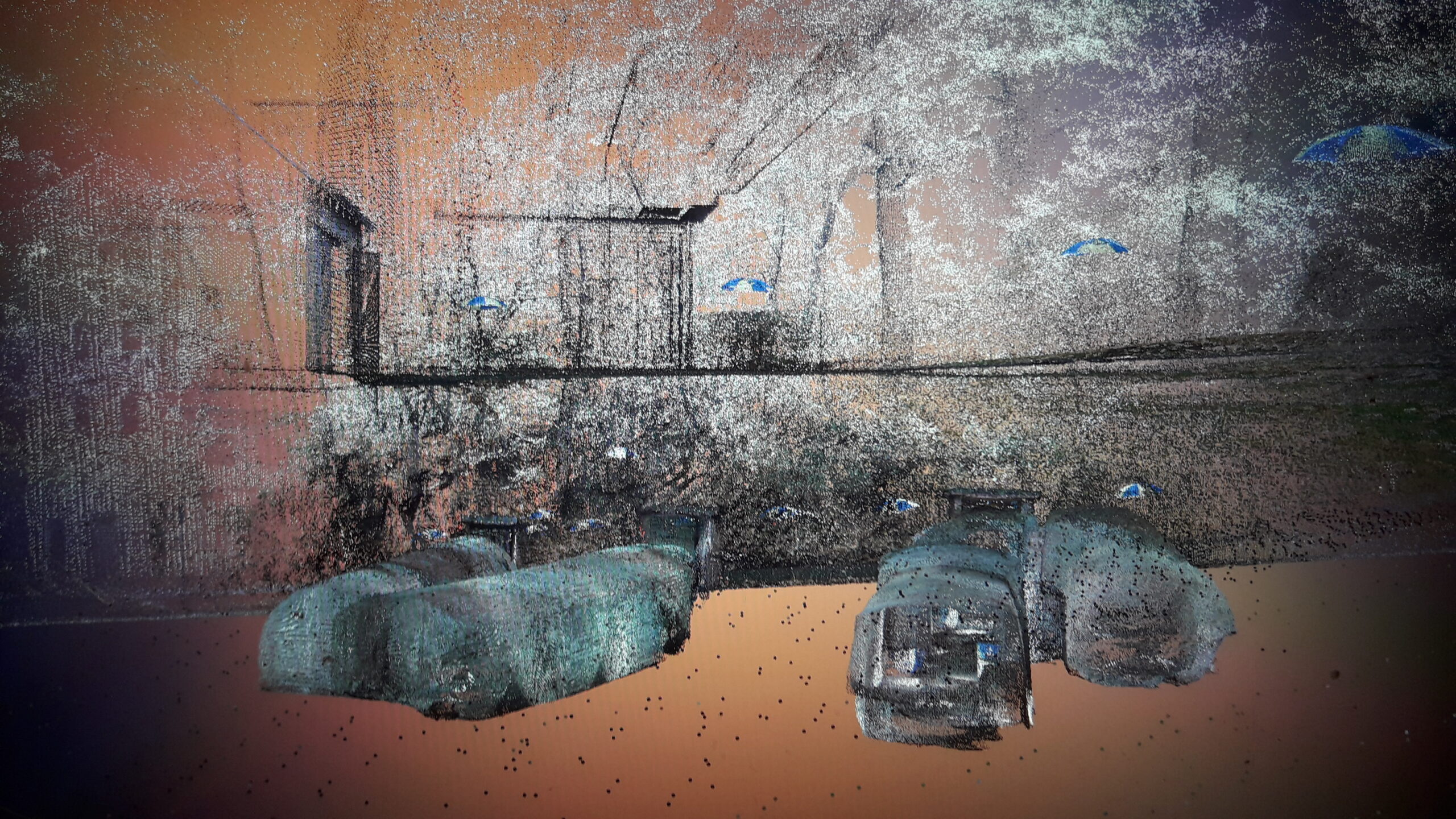
3D laser scanner measures and visualizes rock cellar in road embankment
Posted on May 10, 2022.
Determining the exact position of rock cellars or caves in relation to the ground surface requires precise surveying techniques. The smallest angular errors can “warp” the entire model and cause several meters of positional deviation above a certain corridor length, which is an unacceptable inaccuracy, especially for questions concerning building and traffic infrastructure.
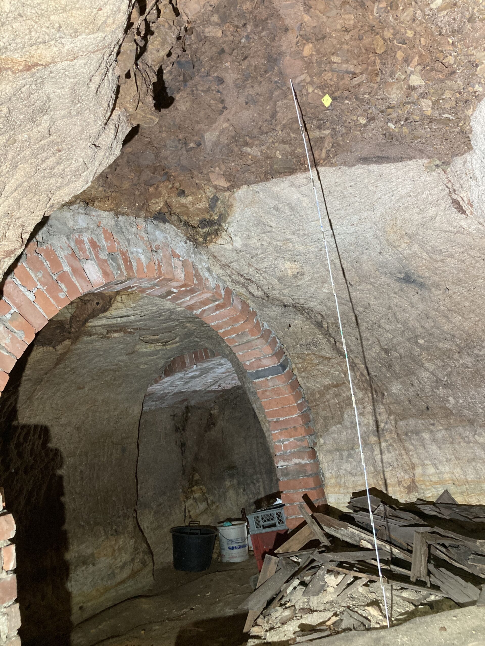
With a high-precision survey using a 3D laser scanner, we were once again able to record three rock cellars, whose entrances are located in the street embankment, with centimeter accuracy and visualize them under city ground. Not only the location in relation to the above-ground use (building, open space, traffic area), but also the cover of the cellars could be reliably determined. In addition to the geological recording of the vaults, the cover and its structure is one of the decisive parameters for evaluating the geological stability of the cellars.

3D scan of rock cellars under a building

Monitoring site in one of the rock cellars
However, the all-clear was given for the recently inspected basements. Besides a few structures in need of monitoring, the basements were mostly in good condition. The monitoring program is used to determine whether the monitored structures need to be rehabilitated or technically secured in the long term if their condition deteriorates.
LGA Institut für Umweltgeologie und Altlasten GmbH
Christian-Hessel-Str. 1
D-90427 Nürnberg
Phone: +49 911 12076 100
Telefax: +49 911 12076 110
info@LGA-geo.de
bewerbung@LGA-geo.de
News

Experts for safety structures against alpine natural hazards
Experts for safety structures against alpine natural...

Membership in the RAL Quality Association
Membership in the RAL Quality Association...

Impulse Online Edition
LGA Impulse - Online Edition With the current summer...
Asbestos – Article in the NN from 02.07.2024
Asbestos - Article in the NN from 02.07.2024 Our expert...

Successful recertification according to ISO 9001
Successful recertification according to ISO 9001 Posted on...
Older articles
