Sediment surveys
In many places, watercourses have been dammed and dams or reservoirs created in recent decades for reasons of flood protection and water retention (water reservoir). As a result, the natural sediment transport of watercourses is interrupted. The inflows to the reservoirs continuously deliver large amounts of sediment, which is deposited in the artificial standing waters. Depending on the size of the water bodies, 10,000 m³ of sediment material or even many times this amount can accumulate during the operating period..
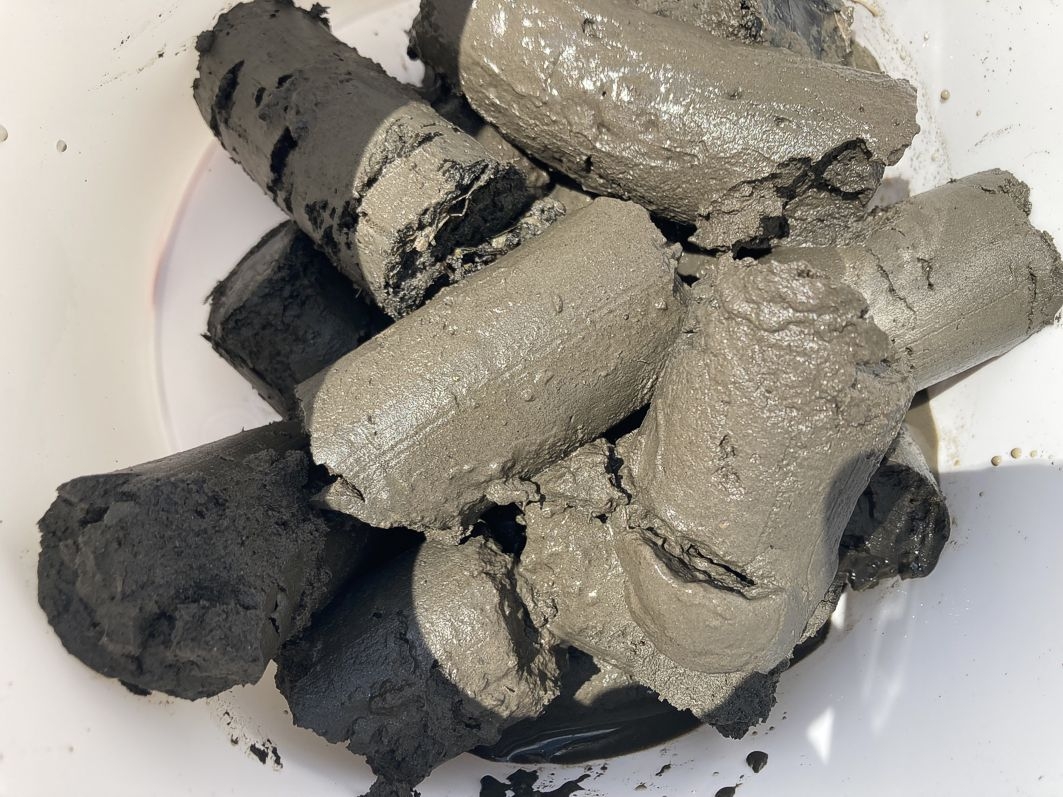
Sediment core with organics
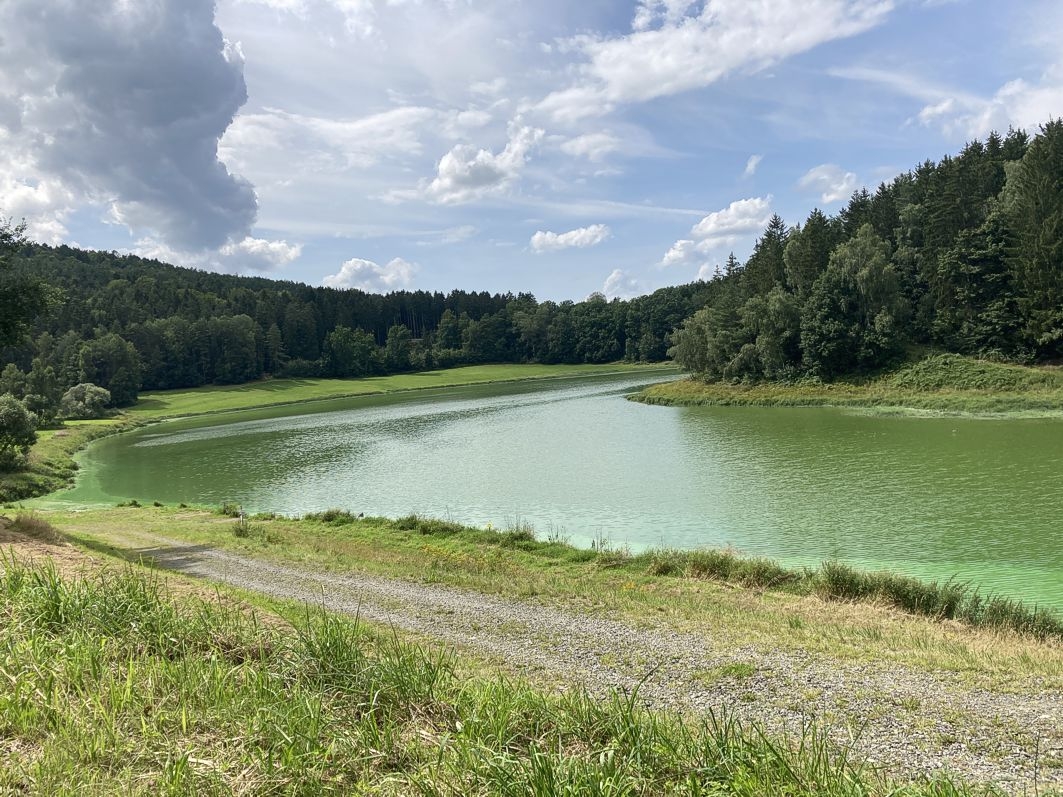
Reservoir with algae bloom
With the increase in sediment volumes at the bottom of the reservoir, the water retention capacity of the dams or reservoirs decreases. In addition, there are usually continuous nutrient inputs from agriculture, sewage treatment plants, industry, etc., which contribute to eutrophication of the water body (nutrient enrichment, e. g. with phosphorus or nitrogen). The consequences are turbidity of the water and algae blooms (blue-green algae), which lead to oxygen deficiency and loss of biodiversity in the water body. In the case of waters used for tourism, temporary bathing bans or other restrictions may become necessary.
In order to improve the water quality of the dams and reservoirs and to fully restore their water retention capacity, (partial) sediment removal is inevitable.
Depending on the catchment area and water inflow, the sediments may show elevated pollutant concentrations (e.g. heavy metals, Hydrocarbons), which must be properly assessed and evaluated. In addition to anthropogenic influences, geogenic and biogenic causes must also be taken into account.
During the survey, the nature conservational aspects also deserve special attention. For example, protected mussel species, beaver populations and fish stocks can influence the scope and course of remediation measures.
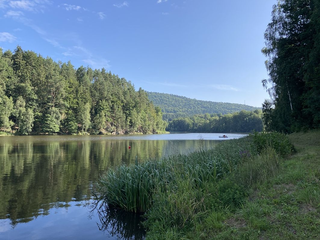
View of reservoir
The basis for sediment surveys is always the establishment of a survey concept that is individually adapted to the conditions in the survey area. Only by a suitable number of investigations, depending on the expected sediment quantity and the spatial distribution as well as the correct investigation parameters, reliable statements about the sediment material can be made. Only after coordination with the parties involved in the project (client, nature conservation authorities, other specialized authorities, etc.) does the survey proper take place. After evaluation of the results, we draw up a desedimentation and disposal concept that shows the options for action and the further project steps (including bidding, implementation of the remediation measure, etc.).
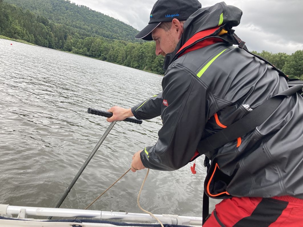
Sediment sampling
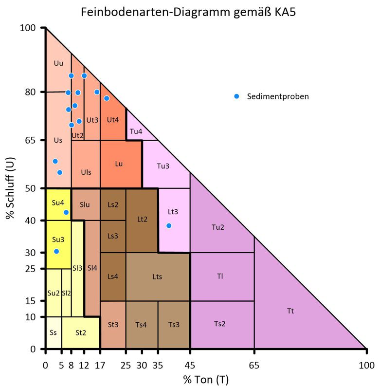
Soil type diagram according to KA5
Our services to you include:
- Preparation of individual sampling and investigation concepts adapted to the water body
- Technical coordination with authorities
- Conducting sediment sampling with own equipment (boat, sampling tools)
- Sediment analysis with regard to the relevant sediment recycling pathways
- Preparation of variant studies to determine the appropriate desedimentation method
- Creation of desedimentation and removal concepts
- Elaboration of bidding documents
Technical support of the desedimentation measure

Bernd Malkmus
Diplom Geologist
Phone: +49 911 12076 112
Telefax: +49 911 12076 110
Mobile: +49 151 16 76 50 43
Bernd.Malkmus@LGA-geo.de
LGA Institut für Umweltgeologie und Altlasten GmbH
Christian-Hessel-Str. 1
D-90427 Nürnberg
Phone: +49 911 12076 100
Telefax: +49 911 12076 110
info@LGA-geo.de
bewerbung@LGA-geo.de
News

Experts for safety structures against alpine natural hazards
Experts for safety structures against alpine natural...

Membership in the RAL Quality Association
Membership in the RAL Quality Association...

Impulse Online Edition
LGA Impulse - Online Edition With the current summer...
Asbestos – Article in the NN from 02.07.2024
Asbestos - Article in the NN from 02.07.2024 Our expert...

Successful recertification according to ISO 9001
Successful recertification according to ISO 9001 Posted on...
Older articles
